Essential Information
Getting to Know Where You are Going
Sri Lanka and Maldives are generally easy countries to travel around since both island nations are welcoming and hospitable by nature. Preparation for a holiday to Sri Lanka and Maldives requires a little forethought and planning to ensure that you have up to date information on visa requirements, recommended vaccinations, travel insurance and travel advice from government agencies.
The details provided in this section are for information only and far from exhaustive so we encourage you to do your own research before travelling.
The safety and security of our customers are paramount and Tikalanka always follows the official travel advice of the British Foreign, Commonwealth & Development Office (FCDO).
We believe that safety and enjoyment are equally important when travelling with Tikalanka. Consequently, a prerequisite of booking with us includes proof of adequate travel insurance before you travel; cover must include emergency medical expenses, personal accident and repatriation, and ideally COVID-19 interruption protection and Travel Disruption (Force Majeure) insurance. In addition, we strongly recommend that you include baggage, personal liability and cancellation cover.
Sri Lanka
The Jewel of the Indian Ocean
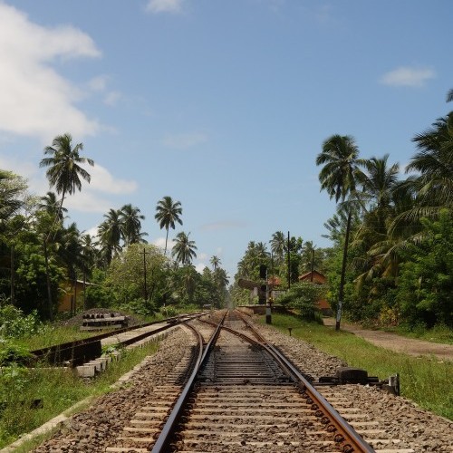
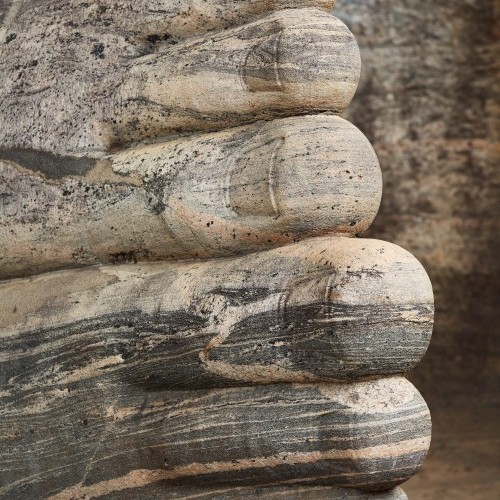
Sri Lanka is a lush, tropical island paradise, known to Arab traders as Serendib - hence "serendipity", meaning discovery by happy accident - and famously described by Marco Polo as "undoubtedly the finest island of its size in the world".
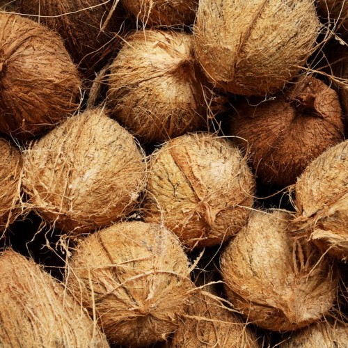
Culturally rich and environmentally diverse, Sri Lanka boasts eight World Heritage Sites (the oldest dating back to the 3rd Century BCE), 86 species of mammals (including elephants and leopards), more than 500 bird species (including 33 endemics), a colourful array of flowering plants and trees, a Hill Country famous for tea and trekking, 14 National Parks out of 100 areas protected by the government, and 1600 km of Indian Ocean coastline offering palm-fringed and sun-drenched tropical beaches.
Fact File Trip Planner
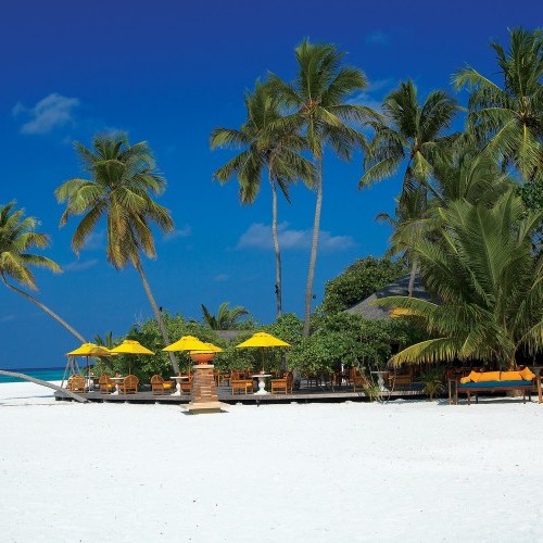
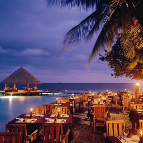
Maldives
A Tropical Island Paradise
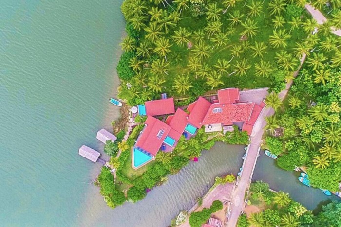
Maldives is located on the equator an hour and a half’s flight southwest of Sri Lanka and it is made up of 1190 coral islands, forming an archipelago of 26 major atolls. Faru, ring-like coral formations enclosing an azure blue lagoon surrounded by dazzling white talc sand, form the atolls and give the Maldives its unique paradise-like appearance – a string of pearls scattered over the deep blue Indian Ocean.
Maldives is famed for its rare underwater beauty, with the bluest of waters teeming with astonishing soft corals and fish sparkling in a profusion of psychedelic colours around the stunning reefs. With incredible underwater visibility, warm ocean temperatures throughout the year, and some of the best dive sites, sun-drenched beaches and spa resorts in the world, Maldives offers you a truly unrivalled tropical island experience.
Fact File Trip Planner